Find your way on campus with this free illustrated map

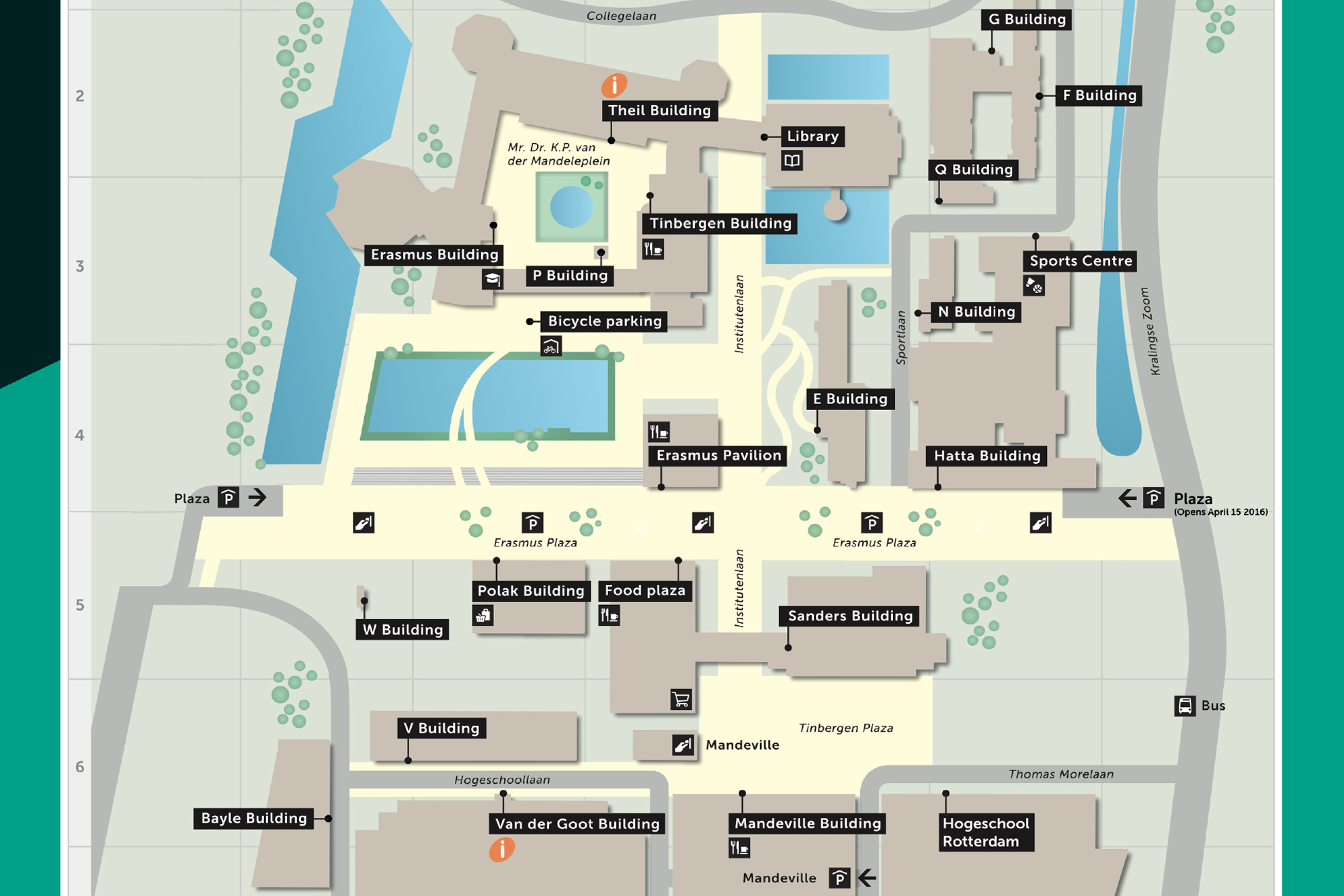
‘Where am I supposed to go?’ is a question regularly asked by most first-year students, particularly when they first arrive in Rotterdam. Campus Woudestein is an overwhelming place, and the names of its buildings can be confusing. Since it’s EM’s primary purpose to inform you in an independent way, we had a collective of illustrators called ikRotterdam draw a map of the campus.

Image by: ikRotterdam
We wanted the map to be clear and easy to survey at a glance, because let’s face it, it’s rather confusing that the H Building is not the Hatta Building and the T Building is not related to the Tinbergen Building. For this reason, ikRotterdam distinguished between buildings only referred to by a letter (drawn in yellow) and buildings that have both a name and a letter (drawn in pink). “We want first-year students to be able to find the various buildings at a glance,” says ikRotterdam’s Evalien Lang.
Read more
-
This is why the buildings on campus have these letters
Gepubliceerd op:-
Campus
-
What are the students doing there?
A few students have been included on the map as well. “Not too many, because that would have made it too hard to provide all the necessary information,” says Marc Kolle. However, the students were included for a reason. “We included some humans to show students what can be done at those particular locations. For instance, near the tennis courts you will see people play tennis, and near the park you’ll see them enjoy a picnic,” Lang adds. Near the Smitse pub you’ll find someone who had a few too many drinks.
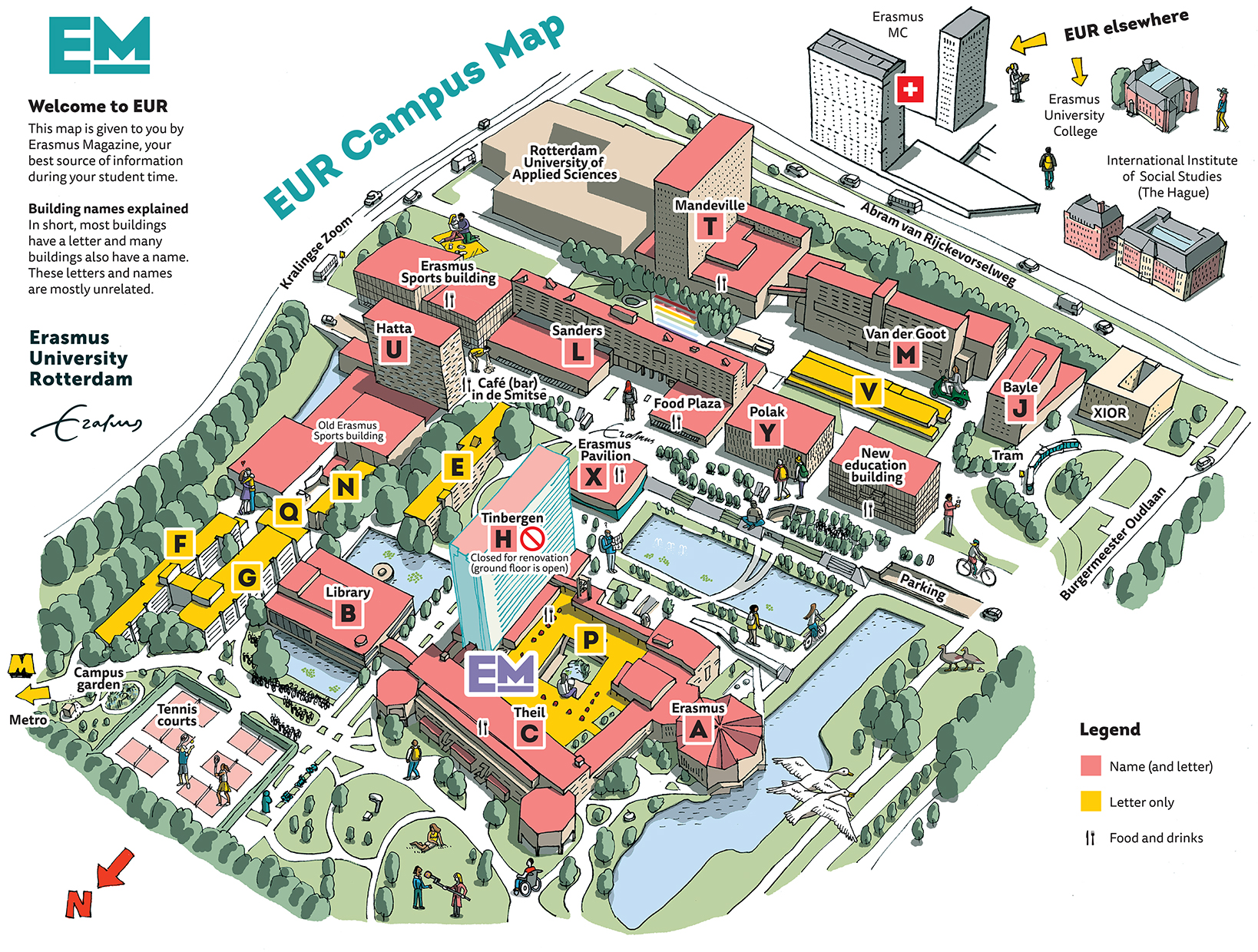
The map of campus Woudestein
Image by: ikRotterdam
Be sure to come and pick up the map from EM’s stand at the Eurekaweek information market.
De redactie
-
 Feba Sukmana
Editor
Latest news
-
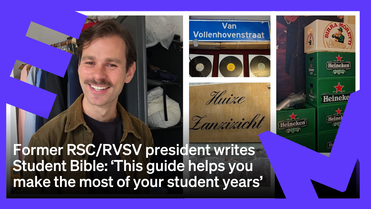
How Guido van Winden of the ‘Student Bible’ got through his studies himself
Gepubliceerd op:Article type: Video-
EM TV
-
-
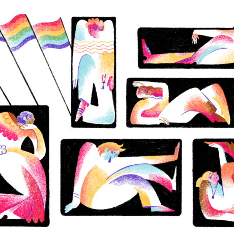
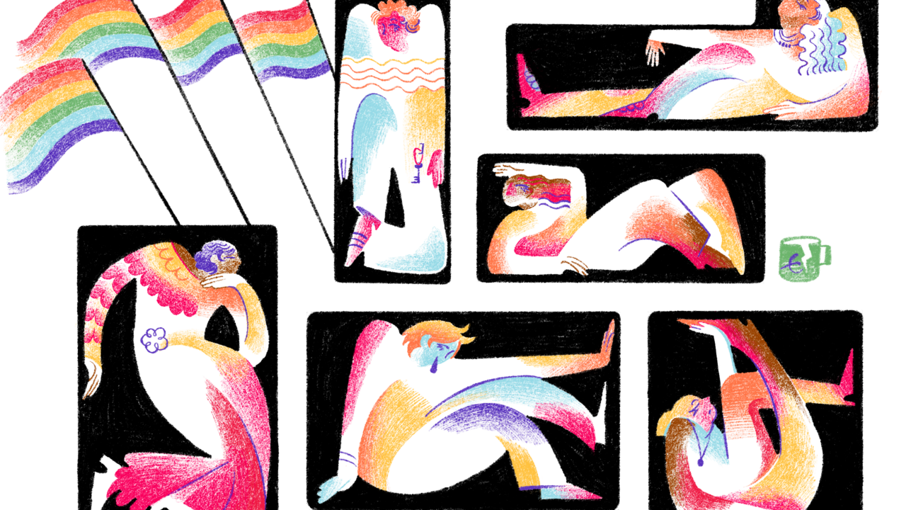
Researcher Alex Huang: The corporate world is often better for queer people of colour than this university
Gepubliceerd op:-
Diversity
-
-
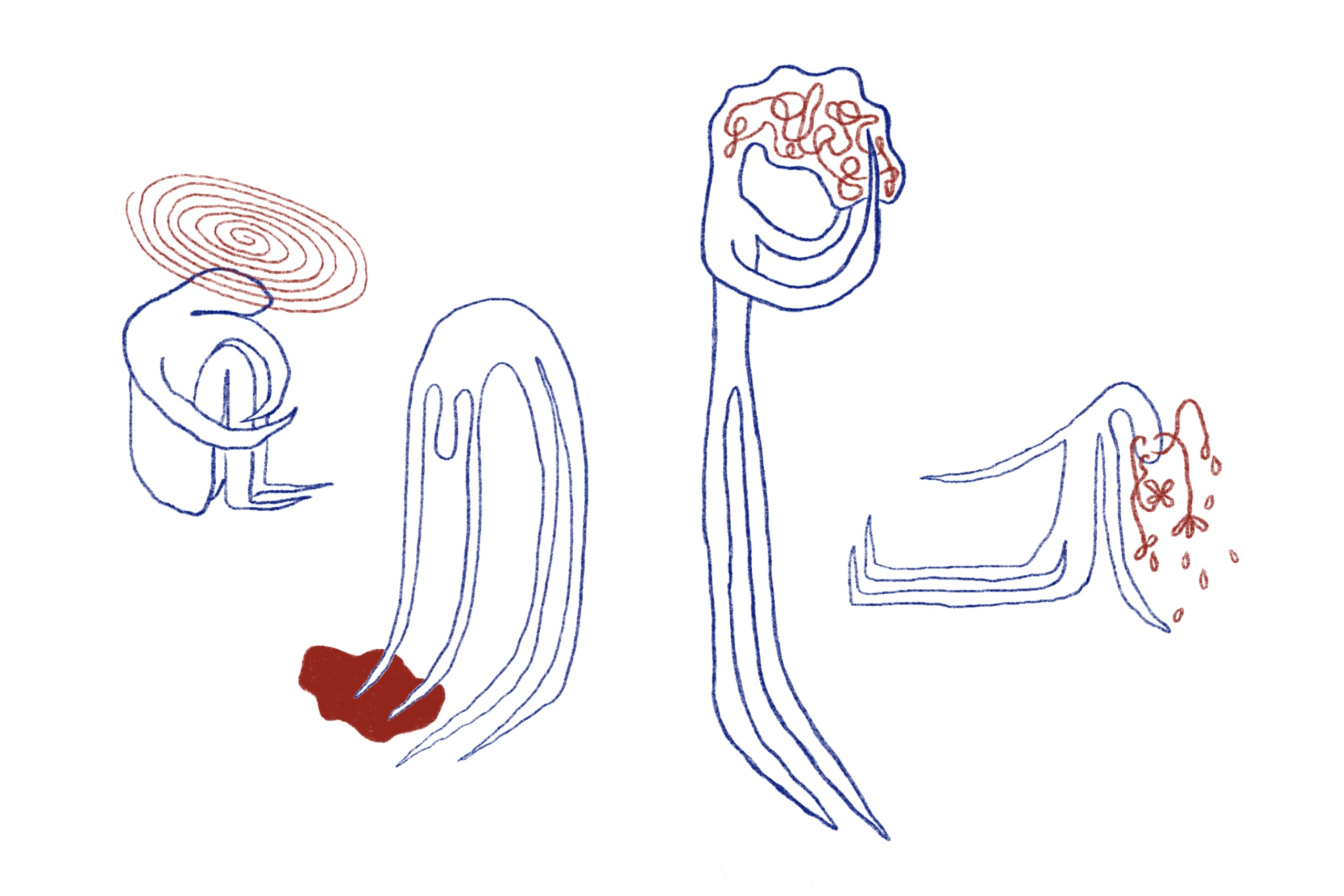
Senior official foresaw mental harm to young people from Covid measures
Gepubliceerd op:-
Mental health
-
Comments
Comments are closed.
Read more in Campus
-
Researcher Alex Huang: The corporate world is often better for queer people of colour than this university
Gepubliceerd op:-
Diversity
-
-

House of Representatives wants more shared accommodation for students
Gepubliceerd op:-
Housing
-
-
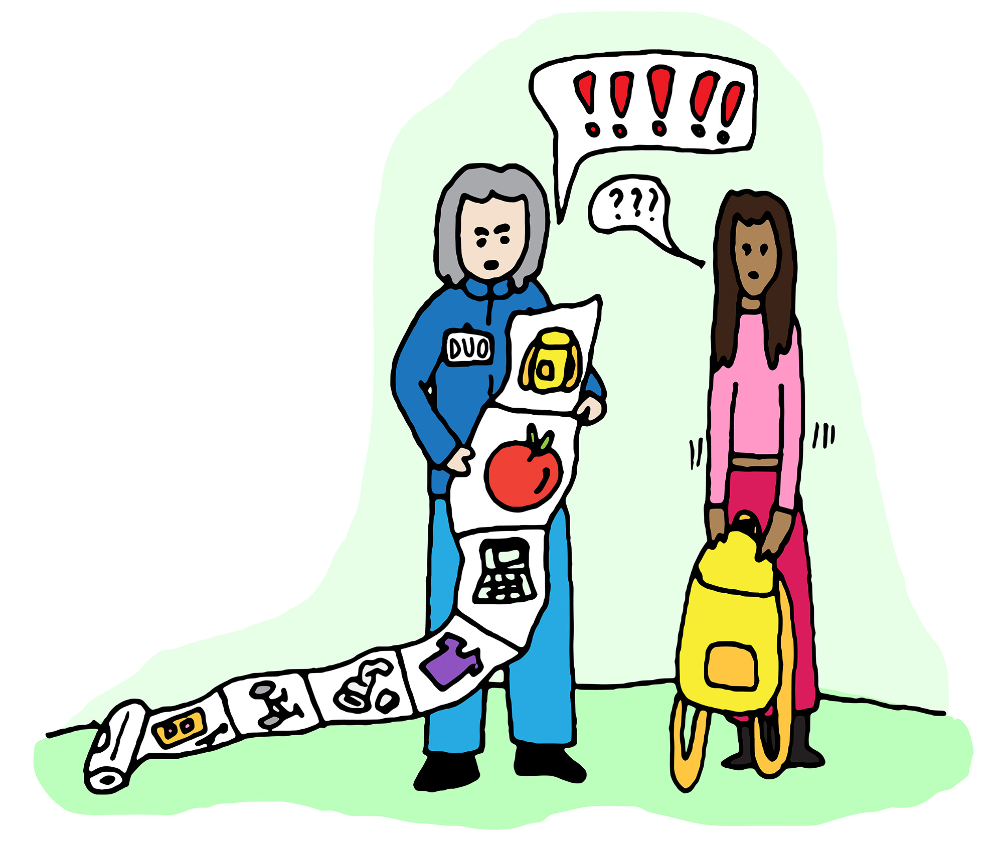
Stop DUO-style fraud detection, advises state commission
Gepubliceerd op:-
Politics
-